01
LOCATION
Where is the flooding?
Preparing location picker…
Selected road point31.88789, 118.88105
100 m impact radiusPin the location, analyze visible flooding, then add a two-hour hazard zone to the campus routing graph.
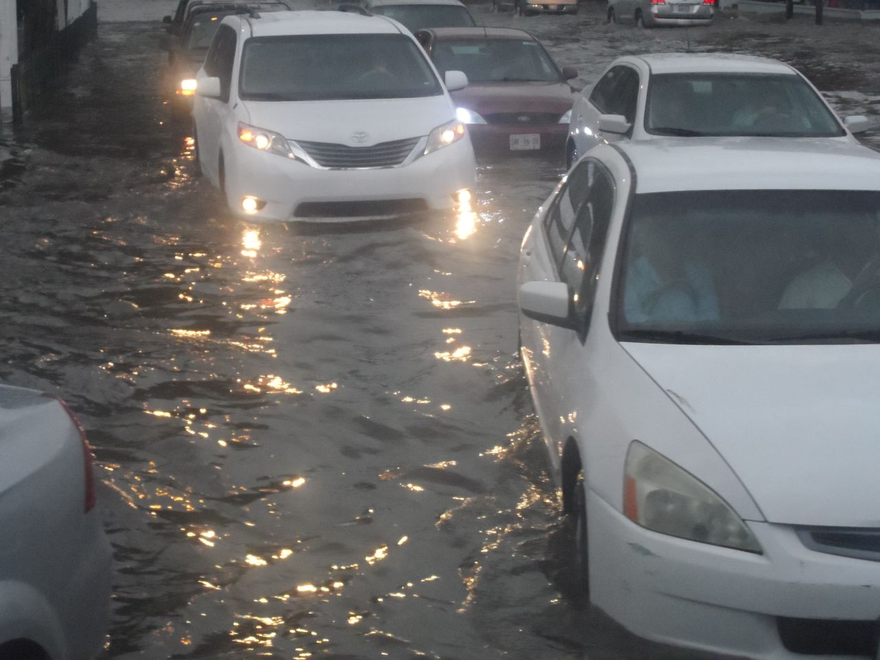 DEMO SAMPLE · CC0 PHOTO
Demo image: “Flooded street and vehicles” by MarkBuckawicki, CC0. It is not from this campus.
Uses an explicitly labeled fixed result and never impersonates live AI.
This run uses a clearly labeled fixed result so the hackathon demo works without an API key.
Temporary, explainable risk. Reports affect roads within 100 metres, decay with distance, and expire automatically after two hours.
PROTOTYPE SAFETY RULE